Recognizing our innovative use of GIS technology in support of the Hurricane Irma emergency response
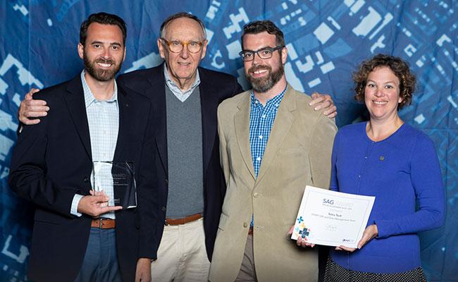
Esri, a global market leader in GIS software, recognized Tetra Tech with a Special Achievement in GIS (SAG) Award at the 2019 Esri User Conference held on July 10th in San Diego, California. Tetra Tech received this honor for its vision, leadership, and innovative use of Esri’s GIS technology in support of the U.S. Environmental Protection Agency’s (EPA) response to the Hurricane Irma disaster. Jack Dangermond, president and founder of Esri, personally selected recipients and presided over the ceremony. Tetra Tech was one of 175 award winners chosen from more than 300,000 organizations worldwide.
Tetra Tech has supported EPA’s emergency response program in regions across the United States since 1995. Our teams provide technical assistance to EPA’s emergency response and preparedness mission related to natural disasters and man-made incidents that threaten human health and the environment.
“We are honored to receive this award from Esri,” said Andrew Johnson, program manager in Tetra Tech’s emergency management and disaster response practice. “GIS technology is essential to our day-to-day operations, and Tetra Tech revolutionized the way it’s being used to support EPA’s responses to significant incidents, such as Hurricane Irma.”
In the face of a natural disaster, Tetra Tech provides EPA with mission-critical support for collecting, tracking, analyzing, and communicating the status of response targets. Given EPA’s need to integrate information from multiple sources and synthesize one common, dynamically updated view for all stakeholders, Tetra Tech works with EPA to iteratively develop robust solutions by learning from individual site-specific activities and scaling them up during significant response events. Tetra Tech implemented technologies that can be used to capture data in response locations without internet connection, which is essential in the aftermath of a disaster, and transmit them to the emergency operations center when connection is available. The GIS technology-based solution includes a common operating picture for tracking, managing, and monitoring assets in real-time. This brings data to life and provides context, so emergency managers can share, understand, and act on the information collected.
We congratulate our team on this recognition and their innovative approach to incorporating technology to support efficient emergency response.